Log in
All resources
Create a design
1,087 Free Images of Pie Chart
lawrence h. slaughter collection of english maps, charts, globes, books and atlases
maps in the rijksmuseum amsterdam
maps of north america
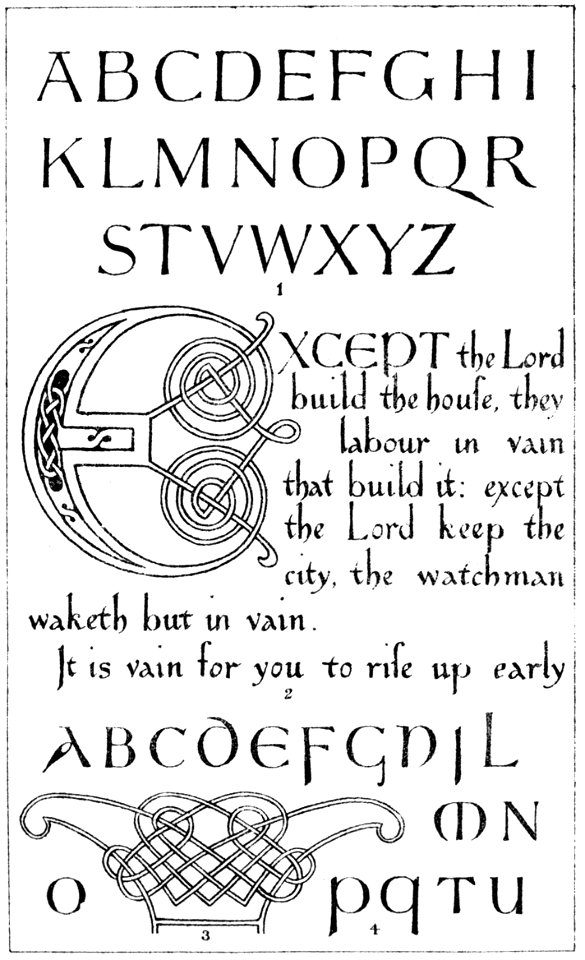
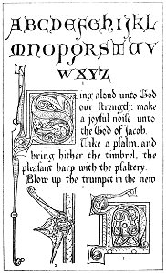
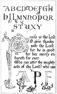
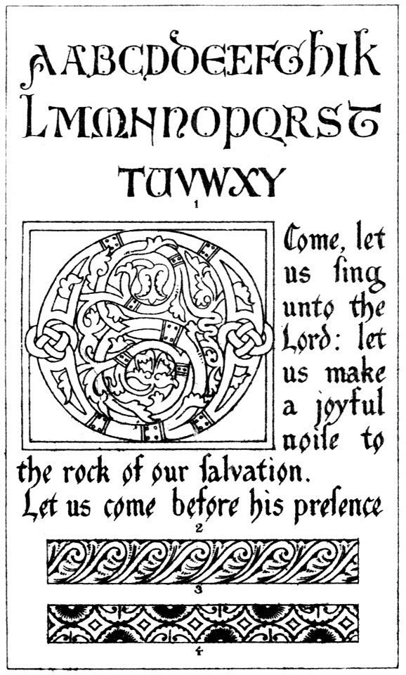
latin alphabet charts
nypl lionel pincus and princess firyal map division
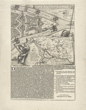
les forces de l'europe, asie, afrique et amerique, ou description des principales villes, avec leurs fortifications
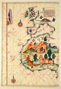
portolan charts made in the 18th century
carte de l'amérique septentrionale by guillaume delisle (1700)
history
theory
1670s maps of the iberian peninsula
hugo allardt
admiralty charts 1801-2000
preston, lancashire
admiralty charts 1001-1200
avacha bay
old maps of zeeland
old maps of holland
nuevo atlas o teatro mundo
old maps of the arctic
maps from the earth and its inhabitants, vol. iv
charts of plymouth sound
diagrams, plots and charts from the british library mechanical curator collection
a class-book of modern geography (1898)
17th-century maps of the mediterranean sea
1610 maps of europe
14th-century illuminated manuscripts from spain
jong (ship)
lawrence h. slaughter collection of english maps, charts, globes, books and atlases
1700 maps of the atlantic ocean
lawrence h. slaughter collection of english maps, charts, globes, books and atlases
1700 maps of the atlantic ocean
lawrence h. slaughter collection of english maps, charts, globes, books and atlases
novi belgii, atlas maior
circle diagrams
application
maps by willem and johannes blaeu
dutch-language maps
cartouches by willem and johannes blaeu
dutch-language maps
photographs in the museum of modern art
johann palisa
chromolithographs at boston public library of flags and arms
louis prang & company
indiana jones and the temple of the forbidden eye
dinosaur (disney's animal kingdom)
civil ensigns in the ottoman empire
flag charts of turkey
portolan charts made in the 17th century
maps by willem and johannes blaeu
prints by heinrich aldegrever in the rijksmuseum amsterdam
the illustrated bartsch 241–250
maps of the gambier islands
admiralty charts 1001-1200
portolan charts by willem and johannes blaeu
dutch east india company
lawrence h. slaughter collection of english maps, charts, globes, books and atlases
de nieuwe en onbekende weereld
lawrence h. slaughter collection of english maps, charts, globes, books and atlases
1640s maps of the americas
lawrence h. slaughter collection of english maps, charts, globes, books and atlases
1700s maps of north america
old maps of the tuamotus
old maps of polynesia
ornament prints printed by martin engelbrecht
latin alphabet charts
17th-century maps of the mediterranean sea
portolan charts made in the 17th century
lawrence h. slaughter collection of english maps, charts, globes, books and atlases
nypl lionel pincus and princess firyal map division
old maps of the polish-lithuanian commonwealth
17th-century maps of prussia
lawrence h. slaughter collection of english maps, charts, globes, books and atlases
pre-raphaelite brotherhood
drawings by antoon derkinderen in the rijksmuseum amsterdam
symbolism
lawrence h. slaughter collection of english maps, charts, globes, books and atlases
covens en mortier
galicia (spain) in the 1390s
galicia in portolan charts
european exploration of africa
portuguese empire
lawrence h. slaughter collection of english maps, charts, globes, books and atlases
covens en mortier
lawrence h. slaughter collection of english maps, charts, globes, books and atlases
covens en mortier
lawrence h. slaughter collection of english maps, charts, globes, books and atlases
maps by claude joseph sauthier
lawrence h. slaughter collection of english maps, charts, globes, books and atlases
nypl lionel pincus and princess firyal map division
pen and pencil sketches; being reminiscences during eighteen years' residence in bengal (1883)
diagrams, plots and charts from the british library mechanical curator collection
lawrence h. slaughter collection of english maps, charts, globes, books and atlases
maps of nieuw nederland
les forces de l'europe, asie, afrique et amerique, ou description des principales villes, avec leurs fortifications
portolan charts made in the 18th century
les forces de l'europe, asie, afrique et amerique, ou description des principales villes, avec leurs fortifications
portolan charts made in the 18th century
les forces de l'europe, asie, afrique et amerique, ou description des principales villes, avec leurs fortifications
portolan charts made in the 18th century
les forces de l'europe, asie, afrique et amerique, ou description des principales villes, avec leurs fortifications
portolan charts made in the 18th century
les forces de l'europe, asie, afrique et amerique, ou description des principales villes, avec leurs fortifications
portolan charts made in the 18th century
les forces de l'europe, asie, afrique et amerique, ou description des principales villes, avec leurs fortifications
portolan charts made in the 18th century
les forces de l'europe, asie, afrique et amerique, ou description des principales villes, avec leurs fortifications
portolan charts made in the 18th century
les forces de l'europe, asie, afrique et amerique, ou description des principales villes, avec leurs fortifications
portolan charts made in the 18th century
drawings in the rijksmuseum amsterdam
pieter van looij
ismailïa. a narrative of the expedition to central africa for the suppression of the slave trade (1874)
diagrams, plots and charts from the british library mechanical curator collection
history
theory
lawrence h. slaughter collection of english maps, charts, globes, books and atlases
nypl lionel pincus and princess firyal map division
old maps of scotland from the norman b. leventhal map center
old maps of ireland from the norman b. leventhal map center
lawrence h. slaughter collection of english maps, charts, globes, books and atlases
covens en mortier
history
theory
prints of cartouches in the rijksmuseum amsterdam
etchings in the rijksmuseum amsterdam
aquatint prints in the rijksmuseum amsterdam
etchings in the rijksmuseum amsterdam
lawrence h. slaughter collection of english maps, charts, globes, books and atlases
nypl lionel pincus and princess firyal map division
les forces de l'europe, asie, afrique et amerique, ou description des principales villes, avec leurs fortifications
portolan charts made in the 18th century
lawrence h. slaughter collection of english maps, charts, globes, books and atlases
nypl lionel pincus and princess firyal map division
lawrence h. slaughter collection of english maps, charts, globes, books and atlases
nypl lionel pincus and princess firyal map division
lawrence h. slaughter collection of english maps, charts, globes, books and atlases
nypl lionel pincus and princess firyal map division
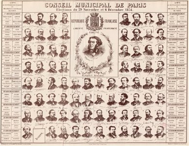
georges clemenceau
1875,
media from atlas of mutual heritage on dutch east india company
portolan charts by willem and johannes blaeu
lawrence h. slaughter collection of english maps, charts, globes, books and atlases
nypl lionel pincus and princess firyal map division
a map of the provinces of new york and new jersey, with a part of pennsylvania and the province of quebec
lawrence h. slaughter collection of english maps, charts, globes, books and atlases
a map of the provinces of new york and new jersey, with a part of pennsylvania and the province of quebec
lawrence h. slaughter collection of english maps, charts, globes, books and atlases
a map of the provinces of new york and new jersey, with a part of pennsylvania and the province of quebec
lawrence h. slaughter collection of english maps, charts, globes, books and atlases
analysis
firm
history
theory
history
theory
self-published work
svg cake icons
lawrence h. slaughter collection of english maps, charts, globes, books and atlases
nypl lionel pincus and princess firyal map division
lawrence h. slaughter collection of english maps, charts, globes, books and atlases
nypl lionel pincus and princess firyal map division
les forces de l'europe, asie, afrique et amerique, ou description des principales villes, avec leurs fortifications
maps of the history of poitou
maps by jacques-nicolas bellin
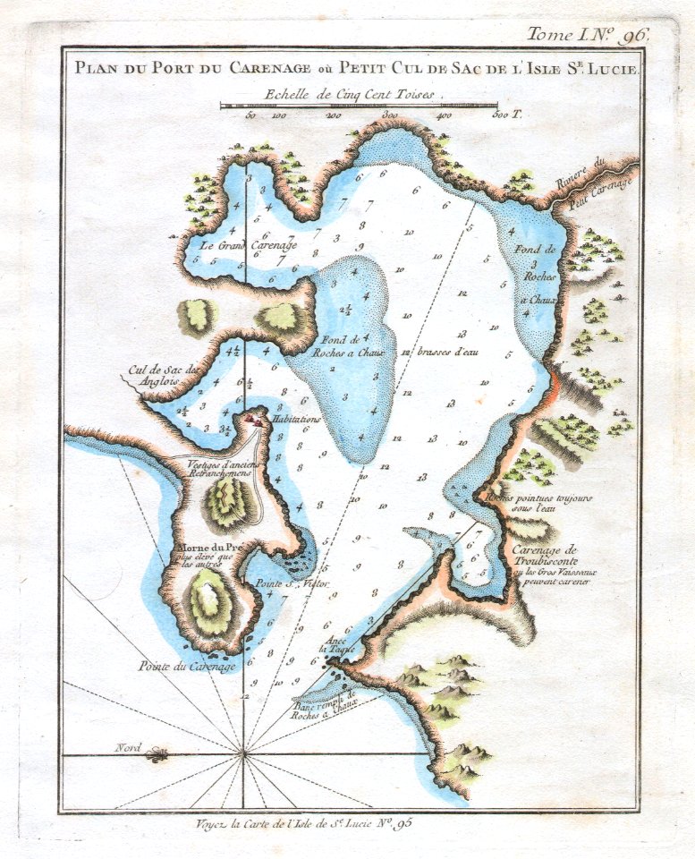
old maps of saint lucia
a map of the provinces of new york and new jersey, with a part of pennsylvania and the province of quebec
lawrence h. slaughter collection of english maps, charts, globes, books and atlases
infographic
infochart
prints by claes jansz. visscher (ii) in the rijksmuseum amsterdam
maps in the rijksmuseum amsterdam
a plan of the operations of the king's army under the command of general sr. william howe, k.b. in new york and east new jersey, against the american forces commanded by general washington, from the 12th. of october, to the 28th. of november 1776
battle of white plains
history
theory
history
theory
a plan of the operations of the king's army under the command of general sr. william howe, k.b. in new york and east new jersey, against the american forces commanded by general washington, from the 12th. of october, to the 28th. of november 1776
iona island (new york)
history
theory
statewide opinion polling for the democratic party presidential primaries, 2008
south carolina democratic primary, 2008
1001 - 1087 of 1,087
/ 11


![North America: based on the observations of Mrs. de l'Académie Royale des Sciences & some others, & on the most recent memoirs, 1700 [i.e. 1708]](https://cdn.creazilla.com/illustrations/10001447935/north-america-based-on-the-observations-of-mrs-de-lacadmie-royale-des-sciences-some-others-on-the-most-recent-memoirs-1700-ie-1708-md.jpg)